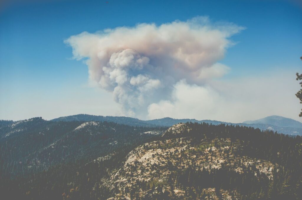
After Talking to Firefighters, a Startup Created a Tool That Maps Every California Tree to Help Predict Fire Spread
A new state of the art satellite imaging program will allow California fire authorities to map every individual tree in […]
Learn more →